Exploration For Humanity
image: Minefield, fence, and signage at Port William, Falkland Islands

Exploration For Humanity is a nonprofit organization dedicated to combining drones and smart-sensor technology to locate hidden threats such as landmines and unexploded ordnance, as well as objects (including people) buried by landslides, avalanches, floods, and similar disasters, and objects lost within large areas of wilderness.

Please check out the new Video!


ABOUT...
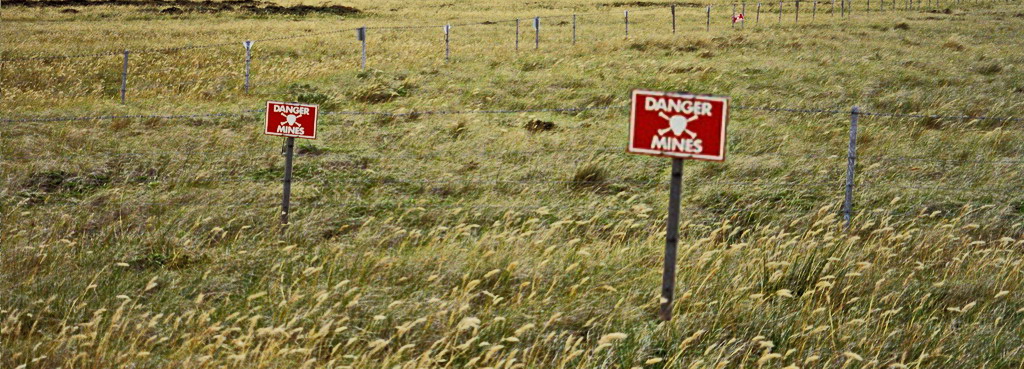
Drone-borne sensing for hidden threat detection
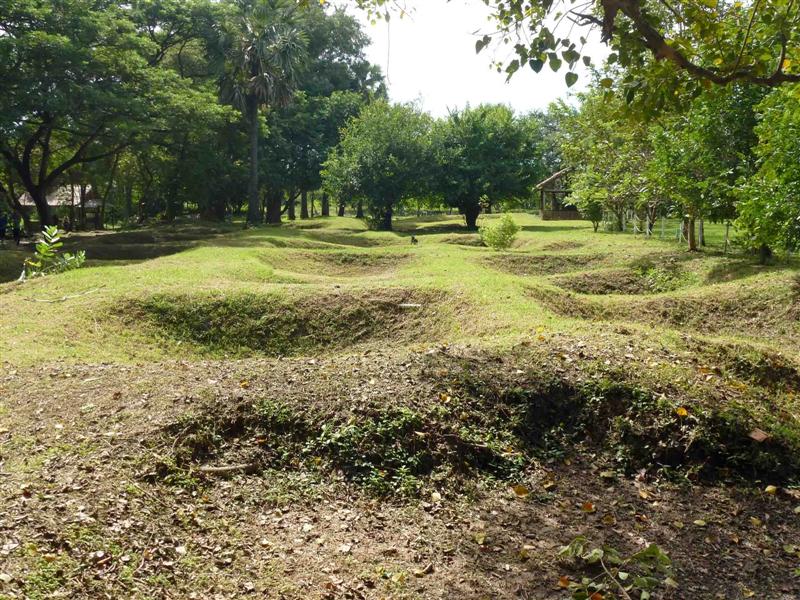
There have been explorers around as long as there have been people. We at EFH are explorers, specialists in the art and science of studying the land, its properties and people everywhere in the world. We are working to apply our expertise to humanitarian problems such as landmines. With today's advanced technology, a UAV (drone) equipped with a special sensor can be easily used to detect and study specific targets. Our world has many areas of need for this today, the most pressing of which is Detecting and Mapping UXO and Landmines. Drones can go anywhere...(more)
...
WHO WE ARE...
Our capabilities and comittment
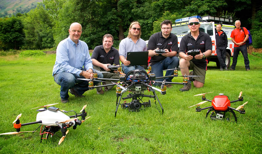
We are exploration geophysicists with more than 100 years of exploration technology research and application between us. We are concerned that our skills can be shown to be useful in support of those humanitarian responses to disasters, both natural and manmade that prevail in many areas throughout the worldClick on each individual to see their professional resumes...(more)
...
OUR VISION...
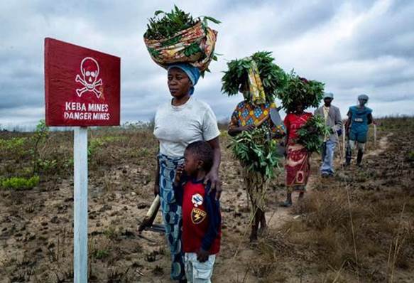
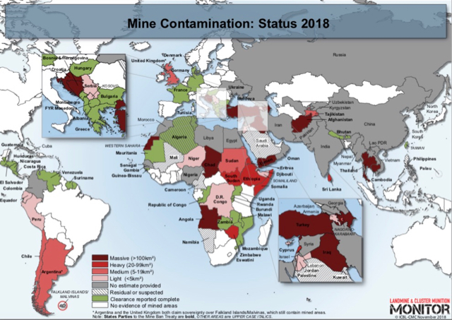
Most disasters cover up objects, and people...
Our vision is to have one or more fully trained teams with their drone/sensor systems available for assignment to any place in the world. The fact that the salaries and overhead for the team may be covered means that projects such as those demining projects with limited budgets and an abundance of assignments can plan for use of our teams without the worry that a single project might consume their entire demining budget.(more)
...
ONGOING PROJECTS...
The need is worldwide, our interest is likewise...
EFH is presently working on a study of  how a drone geophysics program can fit in to the current activities of demining trusts currently working in several areas shown in the Monitor Map...(more)
...
RESEARCH...
Combining drone and penetration sensing...
The advantage of drone-based geophysics applied to landmine
detection and mapping is that a drone system can get close to the ground
where the landmine is without actually walking on it. ...(more)
...
...THE NEED
This didn't have to happen...
Supporting removal of Explosive Remnants of War (ERW) with skilled UXO and landmine surveys with drone geophysics...(more)
...
...THE URGENCY
Every hour, someone is a casulty of a landmine...
This picture appeared in the NYT last month, with text describing how the mines are being located by poking bayonets into the soil today!...(more)
...
...MAKING A DIFFERENCE
People did this, people can undo it...
These women are walking beside a field that could be cultivated.  A DroneGeophysics survey could help to clear that field for food crops.(more)
...
...NEWS
Sign up for our Newsletter...
We invite you to pass on information about landmines, their detection, and their remediation. We will include feature articles in the Newsletter...(more)
...
...DONATE
See how you can help...
You can volunteer, make a donation, ...(more)
...
...CONTACT US
We would like to hear from you...
Would you walk across this Cambodian killing field? You could save lives by bringing sites to our attention, to enable us to deploy EFH technology...(more)
...